Jigokudaira Sabo Dam
A viewing spot that captures the beauty of curvilinear lines
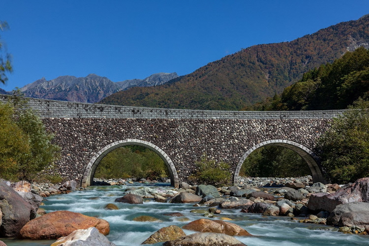
Jigokudaira Sabo Dam is a large check dam constructed in March 2005 on the Gamada River. The river flows through the steep terrain of the mountains of Mt. Yari, the Hotaka mountain range, and Mt. Kasa. The dam was built to prevent the overflow of sand that has long rendered the nearby area prone to flooding.
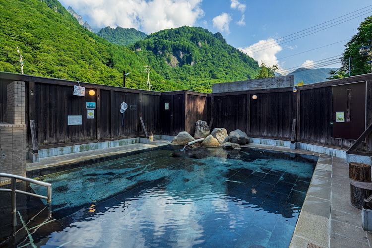
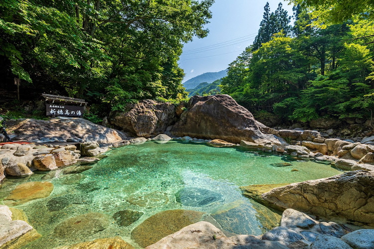
In the old days, the area was called Jigokudaira (literally Hell’s Plain) because of the steam that spewed forth from the river. Nevertheless, thanks in part to erosion control efforts over the years, this area has now transformed into a hot spring resort. The dam was named Jigokudaira Sabo Dam in honor of the hard work of the people involved in this long-term endeavor.
The dam has a culvert (a channel built into the dam) to enable fish and other aquatic life to come and go freely during normal flow. In the event of small to medium-level floods, it allows water and sand to flow downstream; during large floods, it serves as a sand blockage upstream of the dam.
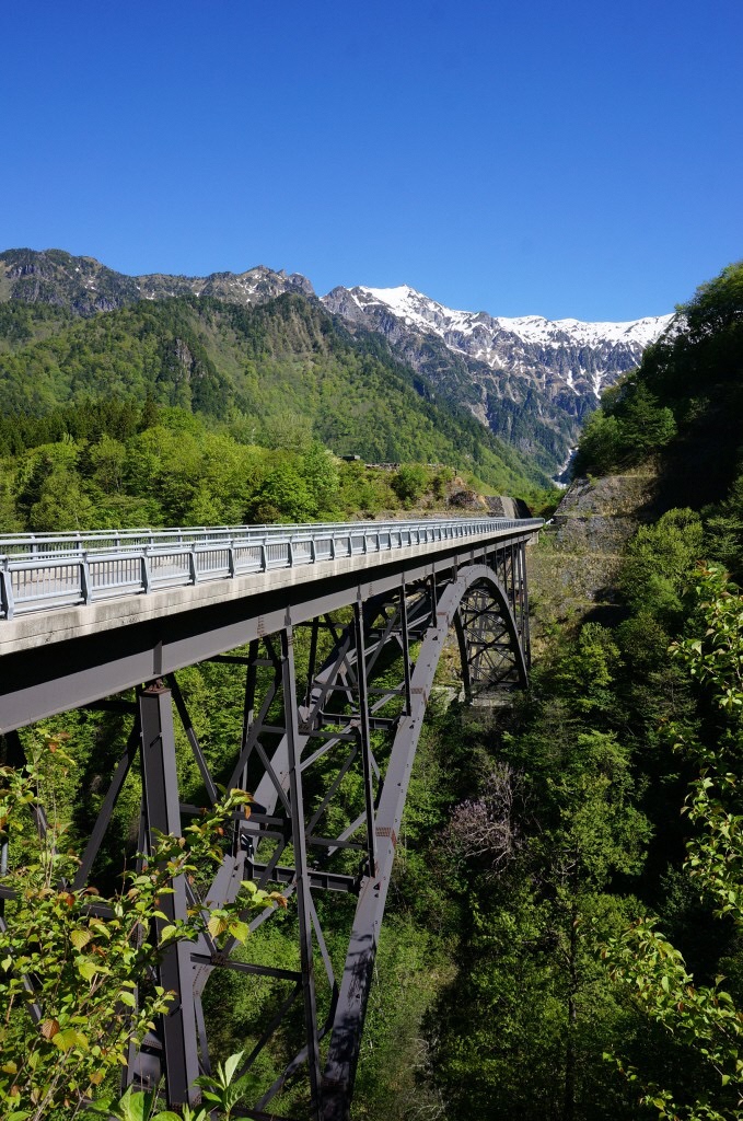
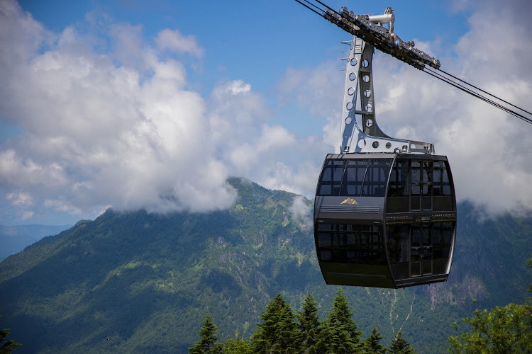
The dam is located at an elevation of 919.5 meters. On a clear day, you can see the Hida Mountains (Northern Alps), including Mt. Nishi-hotaka, as well as the Shinhotaka Ropeway from the walkway on the dam.
Contact: 0578-82-1220 (Ministry of Land, Infrastructure, Transport and Tourism, Jinzu River Sabo Office)
Parking: Available
Directions: 6-minute walk from Karukaya bus stop on the Nohi Bus Hirayu/Shin-Hotaka Line
About 25 minutes by car from Hirayu Bus Terminal